Adams County, Ohio History
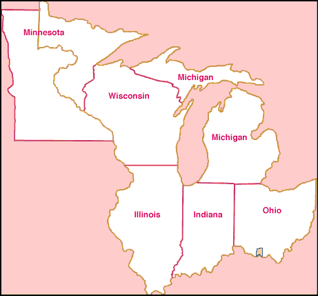
Prior to Ohio's statehood, 01 Mar 1803, Adams County was a governmental division of the Northwest Territory, situated within the Virginia Military District, and played a major role in the exploration and development of Southern and southwestern Ohio. The Northwest Territory is outlined above in brown; the resulting states carved from this vast area are delineated and identified in magenta.
Through the next series of pages, you can take a virtual tour through Adams County's formation and boundary changes over the course of her first few decades of existence.
To begin our tour, let's start with a map of Ohio as it presently exists. In this way, you may see (relative to other counties) how Adams County presently stands, and how it was the parent of a large part of Southern Ohio.
On the subsequent map pages, the border of Adams County at the time on each page is illustrated in gold, while the underlying gridwork shows the present boundaries (in black) for point-of-reference. Adams County's present size is illustrated in blue for comparison.