Adams County, Ohio History
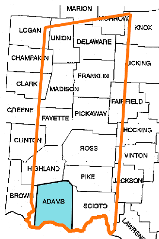
Adams County's Boundaries
Adams County lies on the Ohio River fifty miles east of Cincinnati and one hundred miles south of Columbus, the present state capital of Ohio. It derives its name from John Adams, second President of the United States. It was formed 10 Jul 1797 by proclamation of Governor Saint Clair, being then one of the four counties into which the Northwest Territory was divided.
The first settlement within the Virginia military tract, from which Adams County was created, and the only one between the Scioto and Little Miami Rivers until after the treaty of Greenville in 1795, was made in this county at Manchester by the (then) Colonel (and later General) Nathaniel Massie.
At the time that Adams County was created, from land taken from Hamilton and Washington Counties, the total area encompassed 6,500 square miles - roughly 15% of the entire future state of Ohio - as illustrated in the map above.